By P&R-Tech (Portland, Or.)
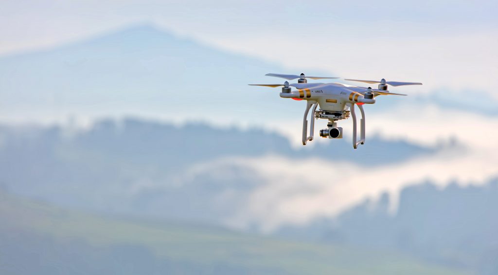
Drones are fast becoming an essential piece of equipment for businesses and consumers alike. Real estate agents are already using them to take footage of available listings and tech companies are testing state-of-the-art delivery drones that can drop off mail and food orders. But drone technology is advancing at such a rapid pace that its use is expanding into more industries that require more complex features.
The new expansion of this technology into the utilities industry is already proving to be a groundbreaking new trend. This is a relatively new tool within utility companies, but drones for surveying may soon become the industry standard for line inspection, installation, and repairs.
Drone Use for Inspection and Security
As drought conditions dry-out the western United States, utilities are increasingly concerned about the growing risk of wildfires. The survey team at Southern California Edison (SCE) has been using vehicles, helicopters, and boots on the ground to survey their area of operation for years to mitigate wildfires caused by their power lines. Some utilities are adding Ambient Adjusted Rating (AAR) devices to their systems to better control the transmission capacity during inclement weather.
Recently, SCE has added drones to conduct quicker and more efficient surveys of their area. an essential tool for their survey team. Tom Guntrip, director of transportation services at SCR, told T&D World, “We are trying to mobilize every asset we have to get power back on quickly and safely…drones have to be part of our arsenal of tools.”
Drone use for power line inspection can make this necessary task far safer and more efficient. They eliminate the risks associated with workers climbing utility poles, flying a helicopter, or traveling to remote areas. The savings in fuel, wear and tear, and helicopter/vehicle maintenance make drones a win-win all around.
A recent advance in drone surveying technology known as “LiDAR” has already proven useful. LiDAR, or Light Detection and Ranging, is able to measure the distance from its lasers to the ground. Drones with this system are capable of mapping and analyzing areas, providing utilities with crucial information that can help with emergency mapping, topographical surveys, vegetation analysis, and more.
Cost Savings of Using Drones
Drones have a significant cost saving when compared with using helicopters. First of course is the equipment cost, given that helicopters are highly capital intensive and expensive to operate. One report estimates that an average contract for a helicopter power line inspection runs more than $4,000 per day. If a utility purchases its own specialized helicopter, that expense can top more than $2 million, which doesn’t even include operational, maintenance, and repair costs. Furthermore, as the T&D article pointed out, personnel can be more efficiently deployed with unmanned aircraft; flying a helicopter is a highly specialized skill that takes years of training, while a drone operator can come up to speed quickly.
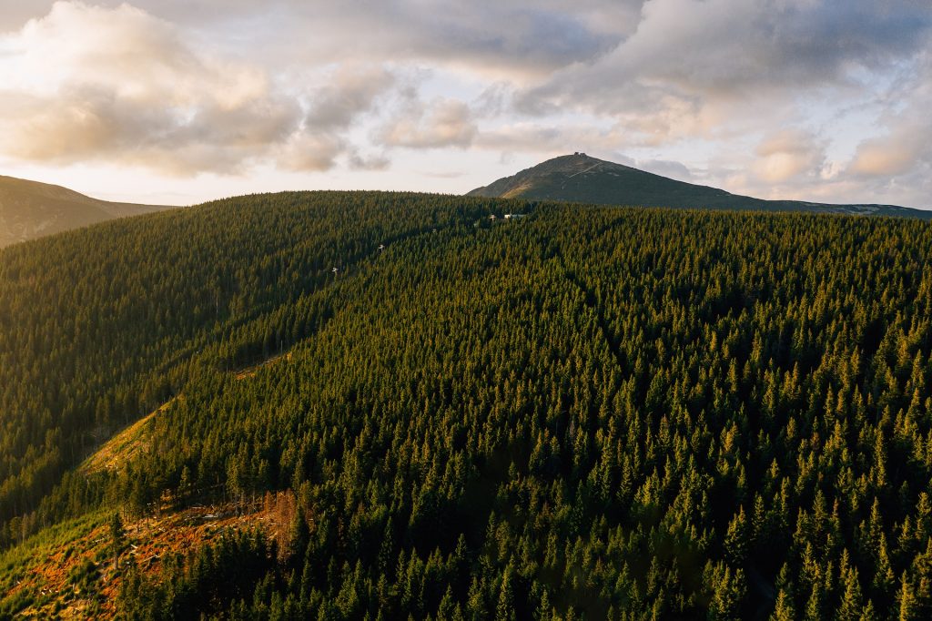 In addition, drones can more effectively access remote areas and cover vast distances quickly. “When you’re talking about any industry that is spread out over a large geographic area — a farm or a solar field, for example — it’s extremely easy to illustrate how productivity goes up when you have a set of eyes that can fly to wherever you need it in a matter of seconds,” says Mike Winn, founder and CEO of startup Drone Deploy.
They also are able to perform their duties in inclement weather, which can be useful in identifying power line issues during storms. By using cost-effective drones to survey damages, utilities can devote those saved finances to repairs.
And of course, the greatest cost savings come from the fact that drones can help you identify equipment failures. Having your power lines in safe working order helps avoid power outages and other costly issues.
Use for Maintenance and Installation
Drones are also playing a crucial role in installing and maintaining safety equipment. P&R Tech, for example, is working with several utilities in using drones to install line markers, such as bird diverters and warning flags.
Since the work can be done remotely, utilities can adhere to a more rigorous schedule for inspecting and maintaining lines. It helps reduce the time and manpower previously required for this work. This can also lead to safer and more effective practices.
The two types of drones most commonly used: fixed-wing and rotor drones. Most operators find that fixed-wing aircraft are preferable due to their expanded range. They tend to have a flight endurance of up to four times longer than rotor drones.
Watch a drone install a bird diverter in this video below:
Future Possibilities of Drone Tech
As with any new technology, it’s exciting to think about more widespread use of drones. Emerging use cases include agriculture, disaster relief, logistics and more. Drones are quickly solving labor-intensive and costly tasks in ways that are safer and more efficient. It’s safe to say that opportunities for this innovative technology will continue to evolve as drones become the norm.
One future involves a flame-throwing drone:
–
Want to know more about drones for surveying? P&R Tech has extensive experience working with utilities, environmental regulators and other government officials for all their power line marker needs, which gives them an edge in effective deployment. Contact P&R Tech today to find out how drones can play a key role in a utility safety plan.